20 July on the map of history
2 events the records the map draws date to 20 July, from 1922 to 1934. Each one opens the map on that very day.
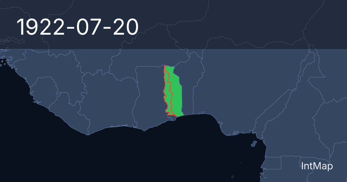
- 1922
The map begins drawing French Togoland (France), British Togoland; the map stops drawing German Togoland
Border record (CShapes 2.0)
Open the map on this day → - 1934
New borders for Anglo-Egyptian Sudan, Libya (Italy)
Border record (CShapes 2.0)
Open the map on this day →
What this page states
A border event is what the border record states about its own outlines, under the names IntMap’s map writes on that day: «the map begins drawing», «stops drawing», «new borders for». It is computed by the map’s own code, comparing the day with the day before.
A name the record does not date is not listed: the map’s table of era names is written in years, so a renaming that falls on another country’s border day is left out.
OpenHistoricalMap, which the map draws from 1689 to 1885, is not included: its dates carry no precision, and most of its first-of-the-month dates are months or years written as days.
The war record covers only the wars IntMap documents day by day (World War I, World War II, Korean War, Vietnam War, Arab–Israeli Wars, Yugoslav Wars).
Sources
CShapes 2.0 (Schvitz et al. 2022, icr.ethz.ch/data/cshapes) · CC BY-NC-SA 4.0
Territory and dates: the documented record, compiled in scripts/wars/. Country outlines: CShapes 2.0 (Schvitz et al. 2022, icr.ethz.ch/data/cshapes).